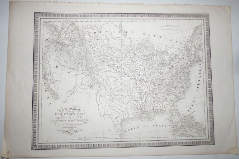
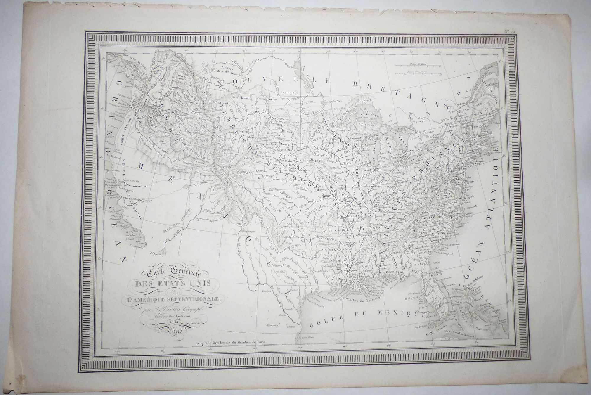
Carte Generale des Etats Unis de L’Amerique Septentrionale (Map No. 33 from Atlas Universel Pour servir a l'Etude De La Geographie Et De L'Histoire Anciennes et Modernes)
Paris: L. Vivien Geographe, 1834. Unbound. Approximately 20.5” x 13.5” including the margins. Text in French. A nice map with a strong, clear image. Minor wear and soiling at lower left tip of margin; top margin is a little rough where the map was removed from the atlas.
This is the second printing of this very attractive map, however it is essentially the same as the first which was done in 1825 and was based on information from several years before that.
Although Missouri had become a state in 1821, it is shown as three separate regions (St. Louis, Cape Girardeau, and Howard) within a vast Territory of Missouri that encompasses the majority of the Louisiana Purchase.
There is no mention of Texas. Mexico, which won its independence from Spain in 1821, is shown in control of the entire Southwest from the Gulf of Mexico to New California on the Pacific Coast.
The entire northwest is labeled as either New Albion or Columbia and extends northward well into present-day Canada.
The region showing the long established eastern states is labeled, “Anciennes Provinces”. The Northwest, Arkansas, and Alabama Territories are identified.
Additionally, the map is filled with cities, settlements, forts, and tribal locations. Very good. Item #008761
Rather scarce. At time of listing, OCLC shows only one institutional holding of this printing and one of the 1825 printing. Rare Book Hub shows no auction results for this printing and three for the 1825 printing. There are no examples of this printing for sale in the trade, and only one of the 1825 printing.
Price: $200.00